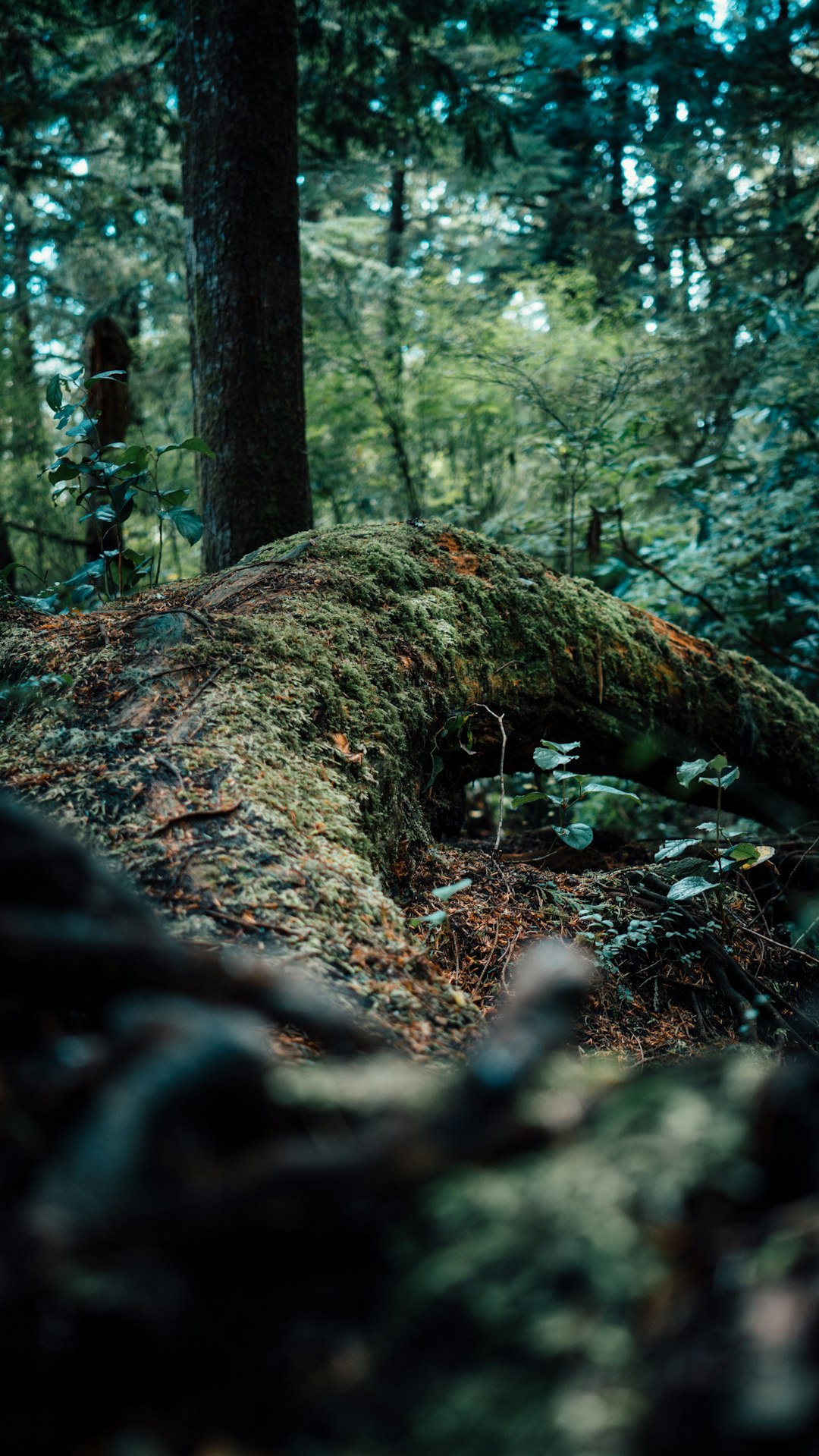
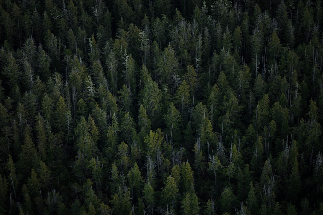
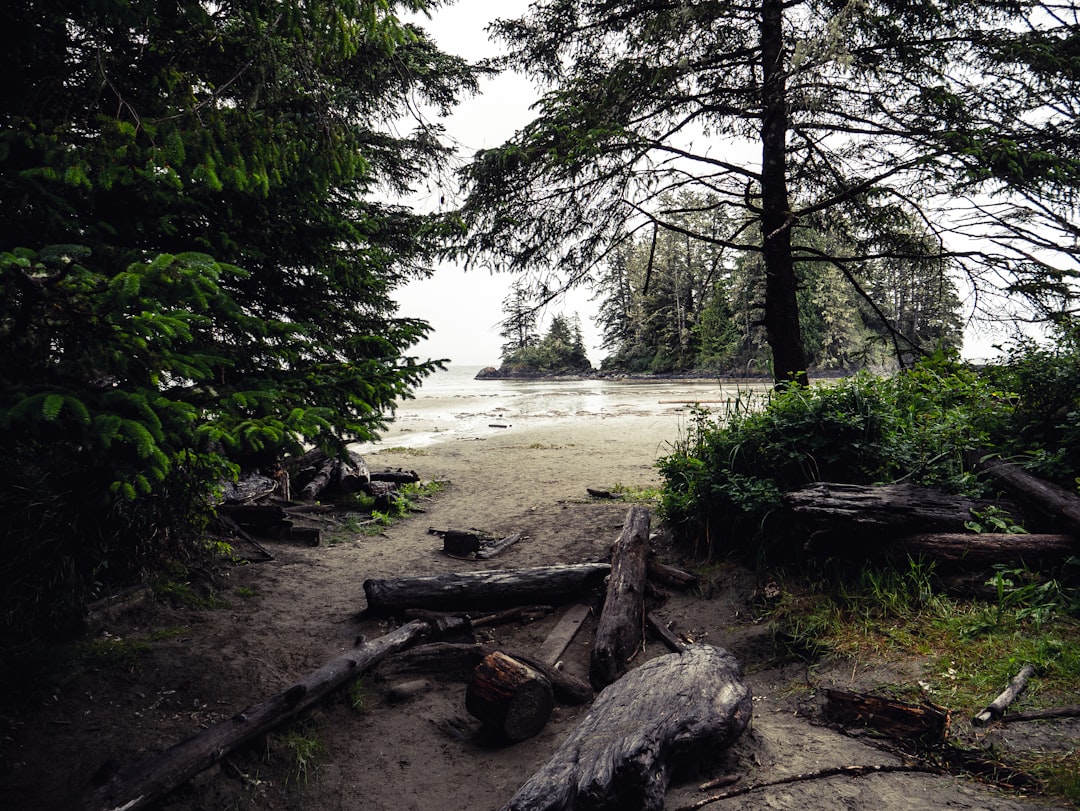
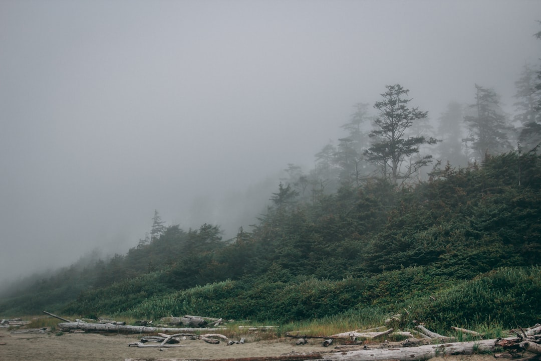
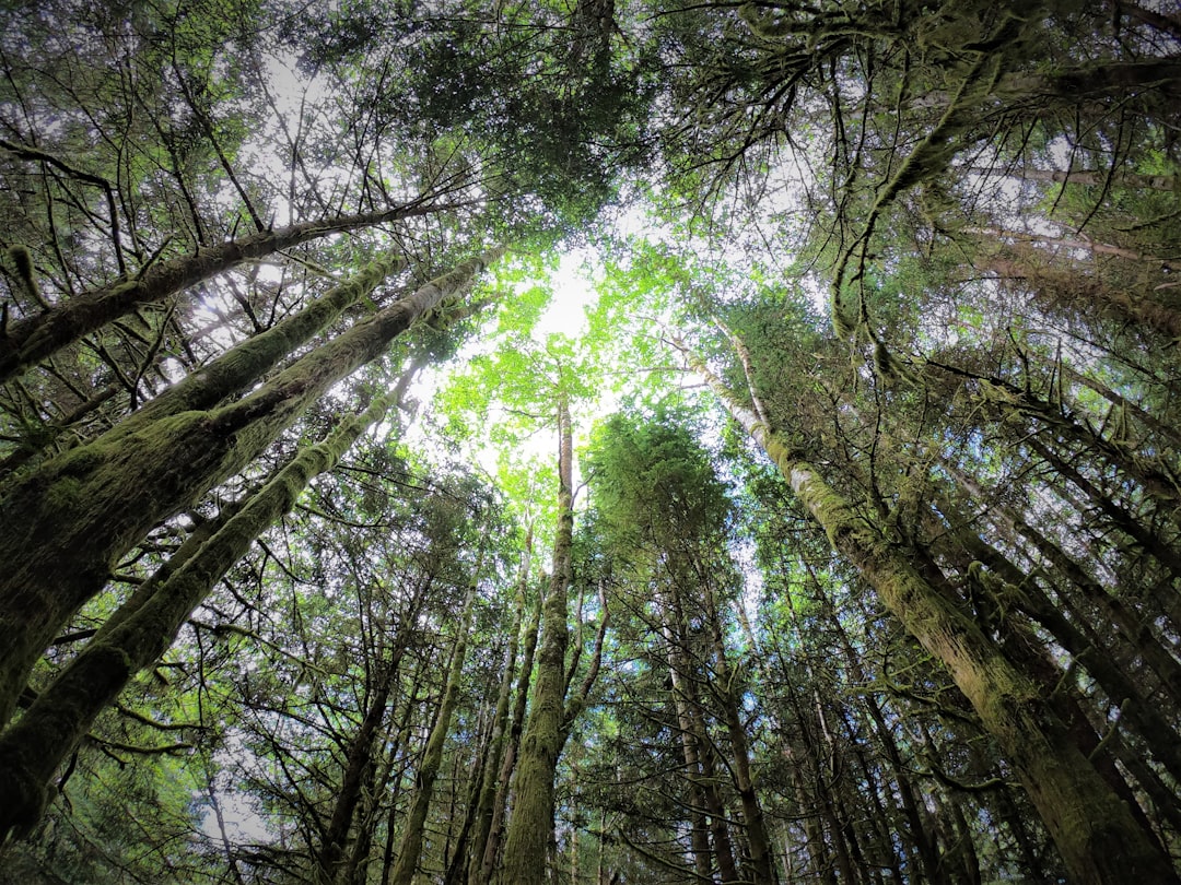
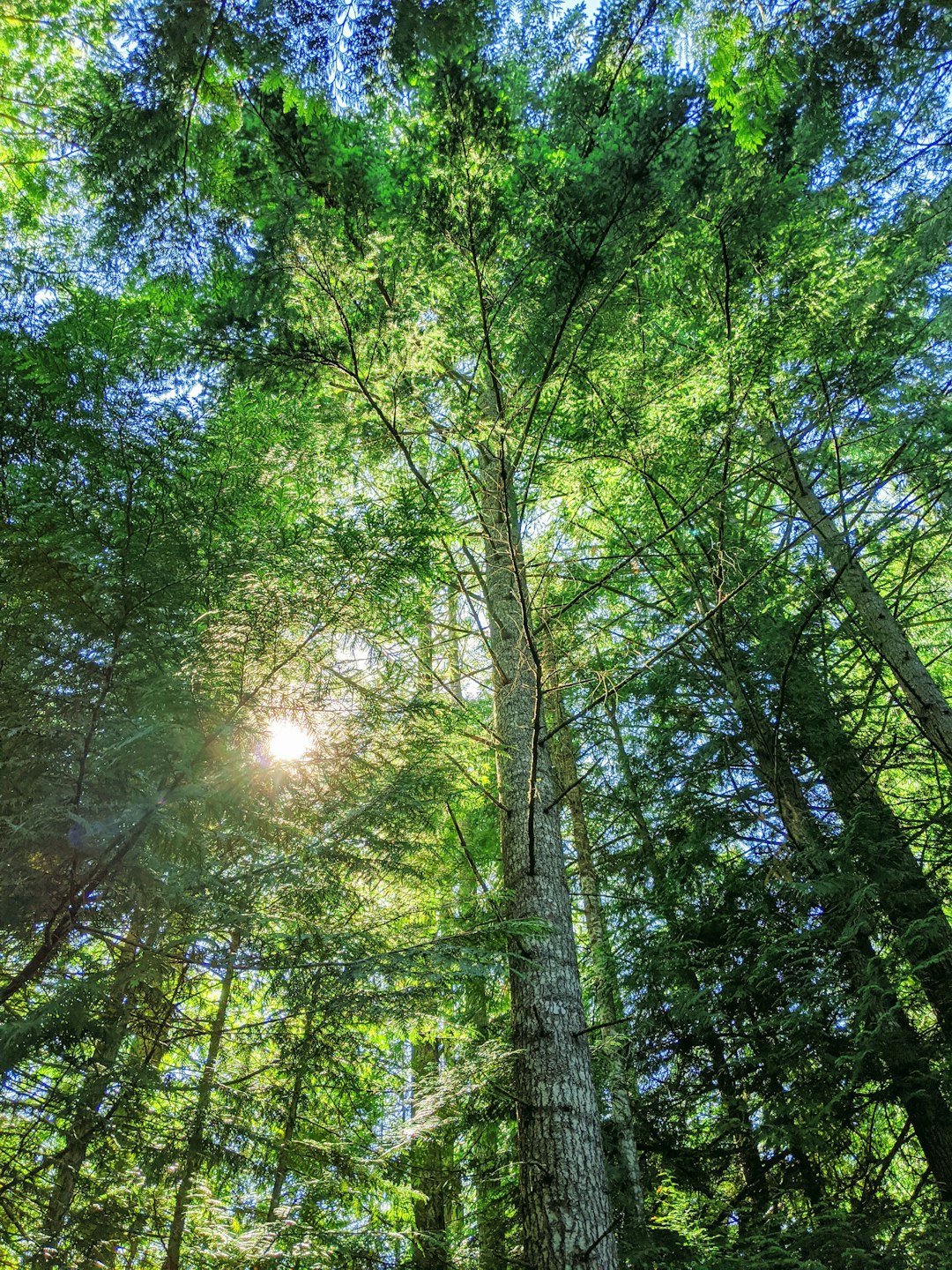
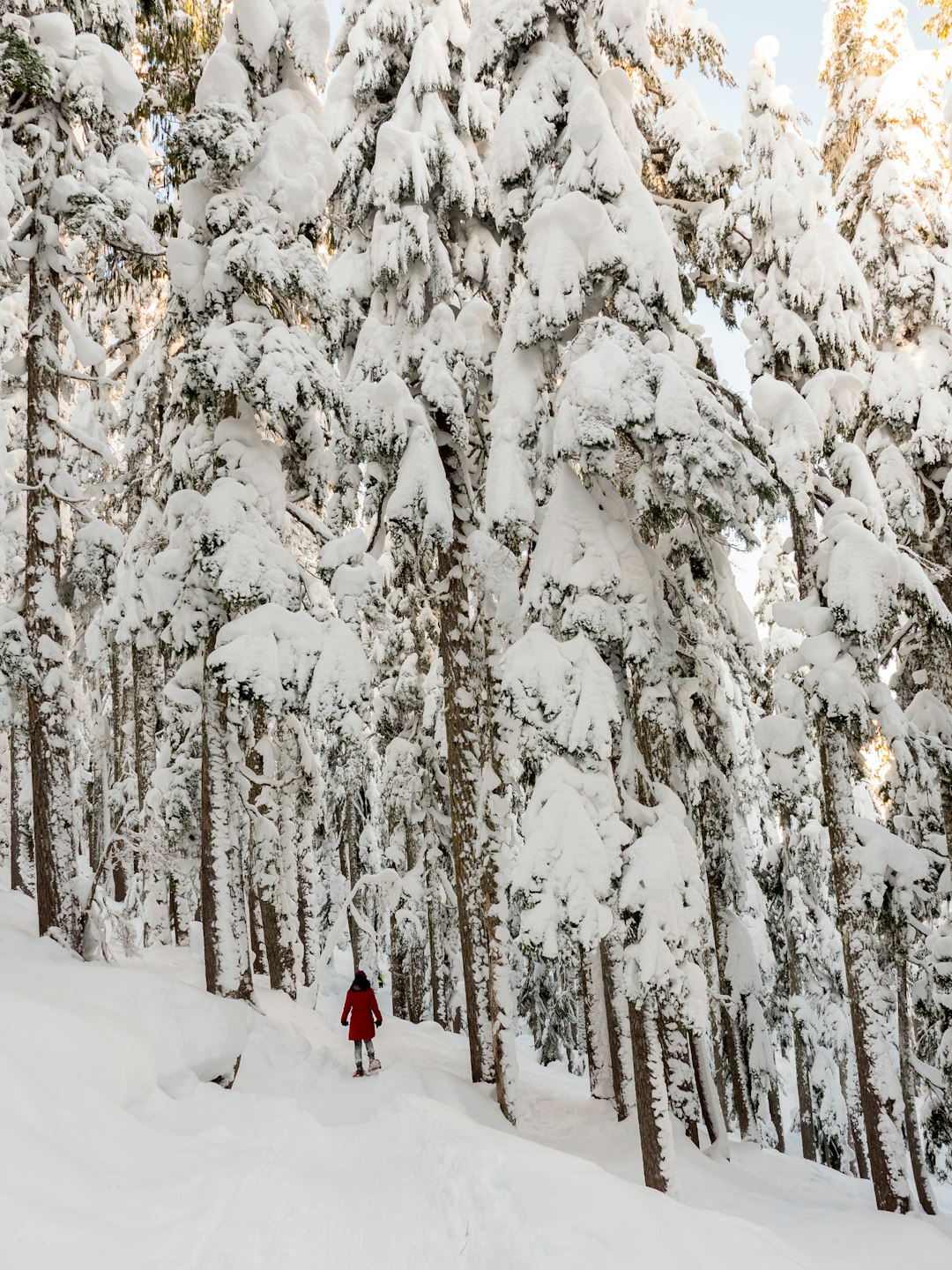
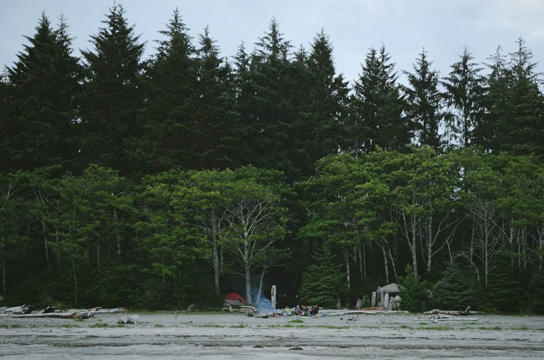
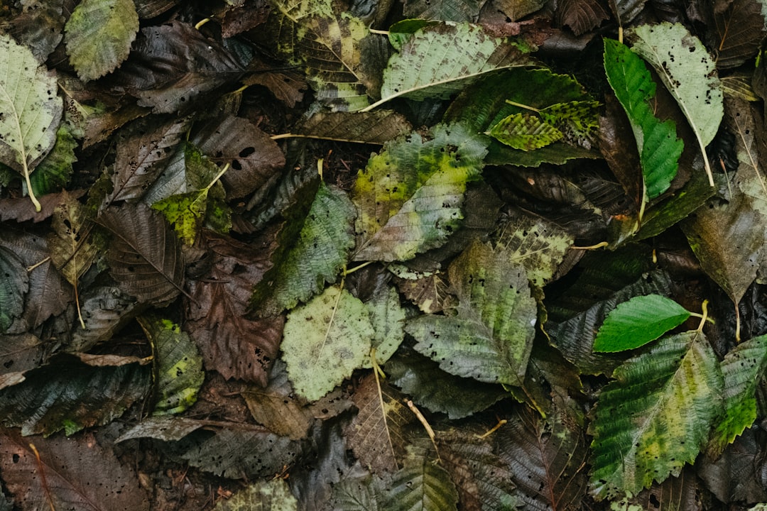
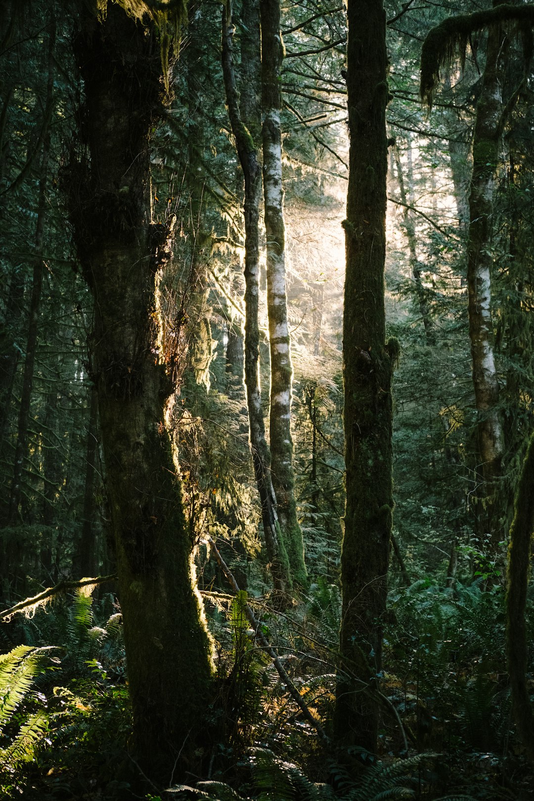
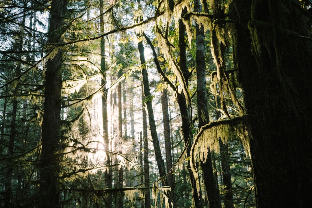
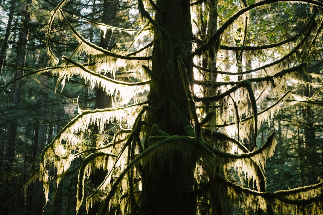
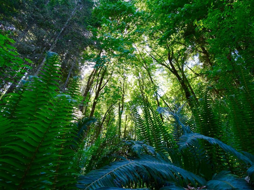
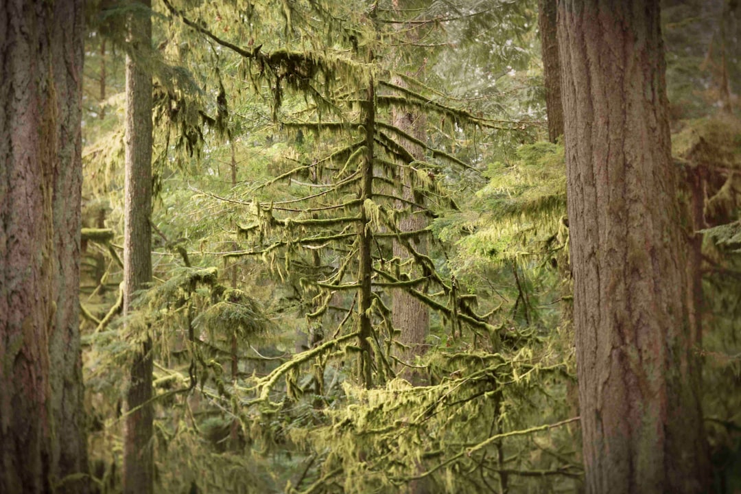
The Best Forest Photo Spots around Lone Cone in Canada
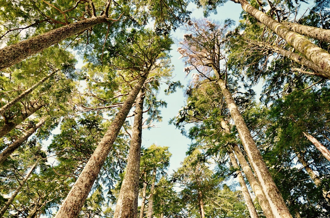
Explore Forest pictures of Lone Cone with the travel spots on a map
Download the Travel Map of Canada on Google Maps here
11 Forest Spots of Lone Cone on a Map
Pictures of Forest on the interacive map of Lone Cone
Download On Google Maps 🗺️📲Forest Spots and Pictures around Lone Cone
Discover popular destinations in Lone Cone with their travel guides
Lone Cone
Read the Travel guide View on Google Maps
Tofino
6 km away from Lone Cone
Read the Travel guide View on Google Maps
Combers Beach Trail
24 km away from Lone Cone
Read the Travel guide View on Google Maps
Ucluelet
40 km away from Lone Cone
Read the Travel guide View on Google Maps

Strathcona-Westmin Provincial Park
46 km away from Lone Cone
Read the Travel guide View on Google Maps

Vancouver Island
59 km away from Lone Cone
Read the Travel guide View on Google Maps
Forbidden Plateau - Helen Mackenzie Lake Loop
73 km away from Lone Cone
Read the Travel guide View on Google Maps
Bamfield
74 km away from Lone Cone
Read the Travel guide View on Google Maps
Cumberland
78 km away from Lone Cone
Read the Travel guide View on Google Maps
Comox Valley Regional District
85 km away from Lone Cone
Read the Travel guide View on Google Maps
Cathedral Grove
91 km away from Lone Cone
Read the Travel guide View on Google Maps
Book your Travel Experience in Lone Cone
Discover the best tours and activities in Lone Cone and book your travel experience today with our booking partners
Learn More about Lone Cone
Find Hotels in Lone Cone
Discover the best hotels around Lone Cone, Canada and book your stay today with our booking partner booking.com